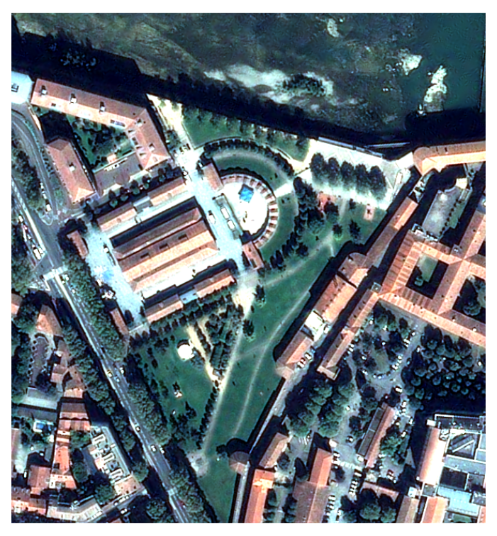
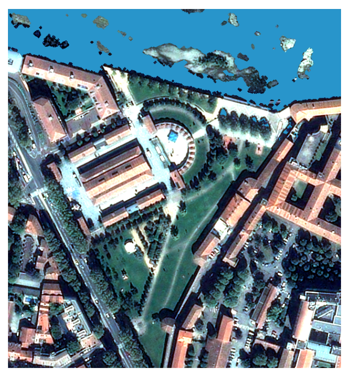
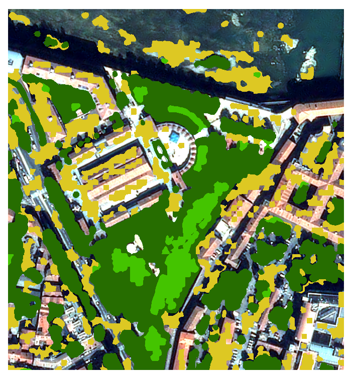
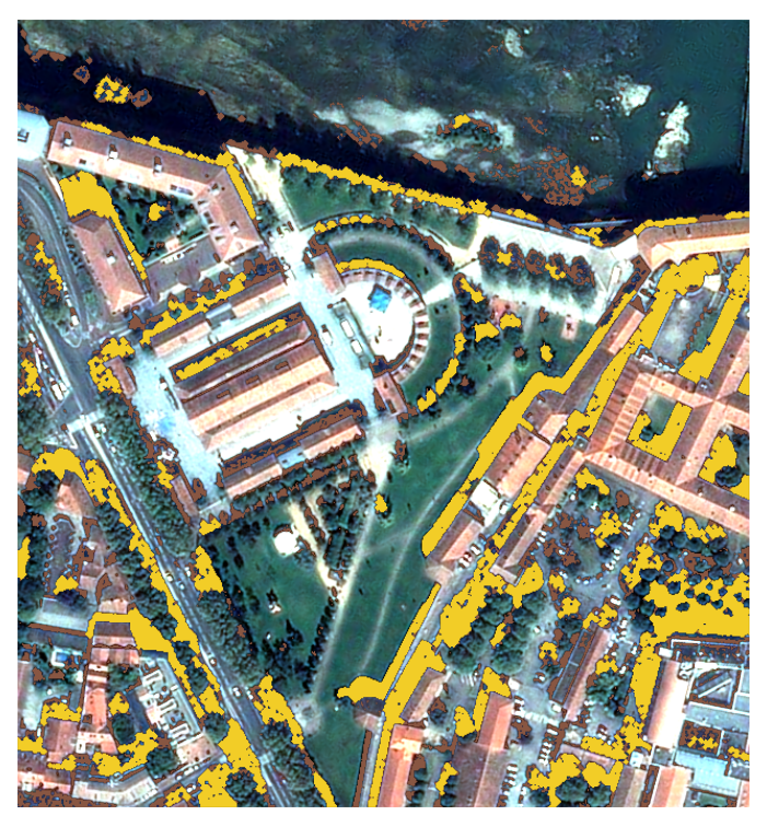
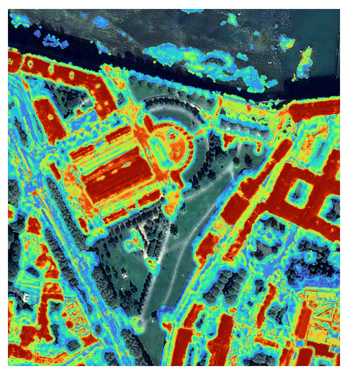
Compute a simple land-use/land-cover mask (water, low/high vegetation, bare ground, buildings) from Very High Resolution (VHR) optical images.
Source codeOverview
SLURP : Smart Land Use Reconstruction Pipeline
SLURP is your companion to compute a simple land-use/land-cover mask from VHR images. It proposes different few or unsupervised learning algorithms that produce one-versus-all masks (water, vegetation, shadow, urban). Then a final algorithm stacks them all together and regularize them to obtain into a single multiclass mask.
SLURP uses some global data, such as Global Surface Water (Pekel) for water detection or World Settlement Footprint (WSF) for building detection.
Data preparation can require the use of Orfeo ToolBox, in order to bring all necessary data in the same projection. You can either build your mask step by step, or use a batch script to launch and build the final mask automatically.
 |
 |
 |
 |
 |
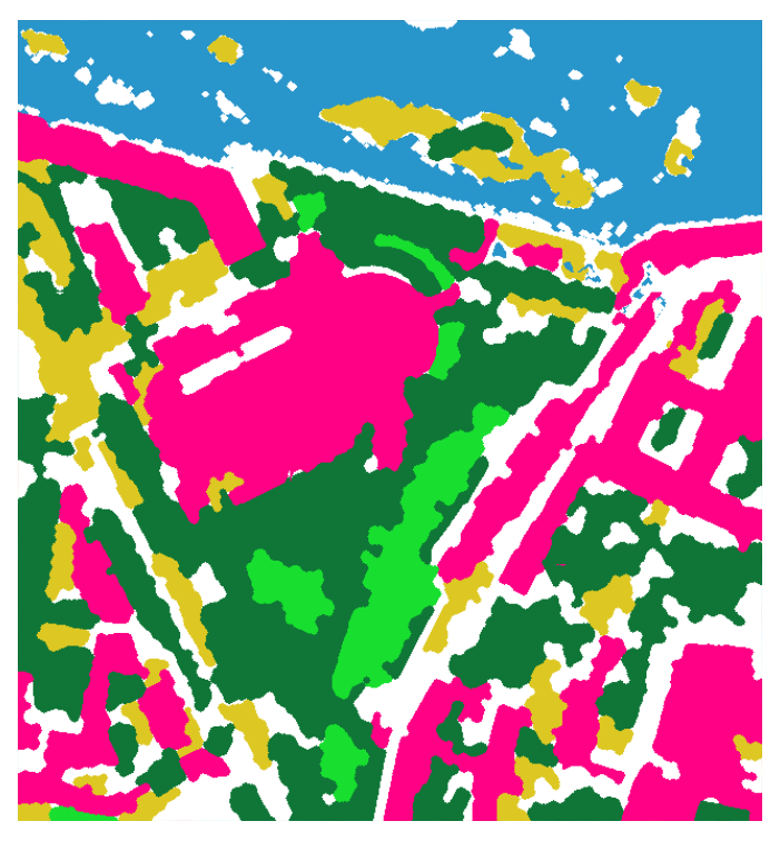 |
| VHR image with 4 bands (R/G/B/NIR) | Learn 'Pekel' water occurrence and predict water mask | Use an unsupervised clustering algorithm to detect low/high vegetation and bare ground | Detect large shadows (but avoid water confusion) | Learn 'WSF" urban mask and compute building probability | Stack and regularize building and vegetated areas contours |
Installation
SLURP can be installed via pip (under the name of slurp-masks). Please refer to the installation guide available in the documentation.
Usage example and tutorial
A tutorial is provided in the official documentation.
Resources
Tutorials
There is no available tutorial for this tool.