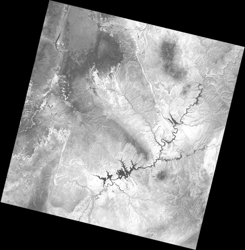
Rasterio reads and writes raster formats and provides a Python API based on Numpy N-dimensional arrays and GeoJSON.
Source codeOverview
Rasterio reads and writes geospatial raster data in a Python environment.
Geographic information systems use GeoTIFF and other formats to organize and store gridded, or raster, datasets. Rasterio reads and writes these formats and provides a Python API based on Numpy N-D arrays.